Rail Transit & Population Density compares and ranks 250 cities around the world - the side-by-side map and table comparison is great!
Wednesday, February 26, 2025

Thursday, February 20, 2025
America's Drunkest and Driest Counties
Fun: America's Drunkest and Driest Counties - explain these spatial patterns!
The Milky Way Map
This is apparently the largest map of the Milky Way: https://archive.eso.org/scienceportal/home. Very cool, but I'm not sure what anyone can do with this...here's a little more beta from Joe Kerski.
Thursday, February 13, 2025
3D Print Your World
Great compilation of tools by Maps Mania: 3D Print Your World
- Topography Explorer
- DEM Net Elevation API
- Tiel Exporter
NAIP 2023 Imagery
I always forget about the NAIP Imagery - a great source for free satellite data at pretty decent resolution (30 cm / 60 cm).
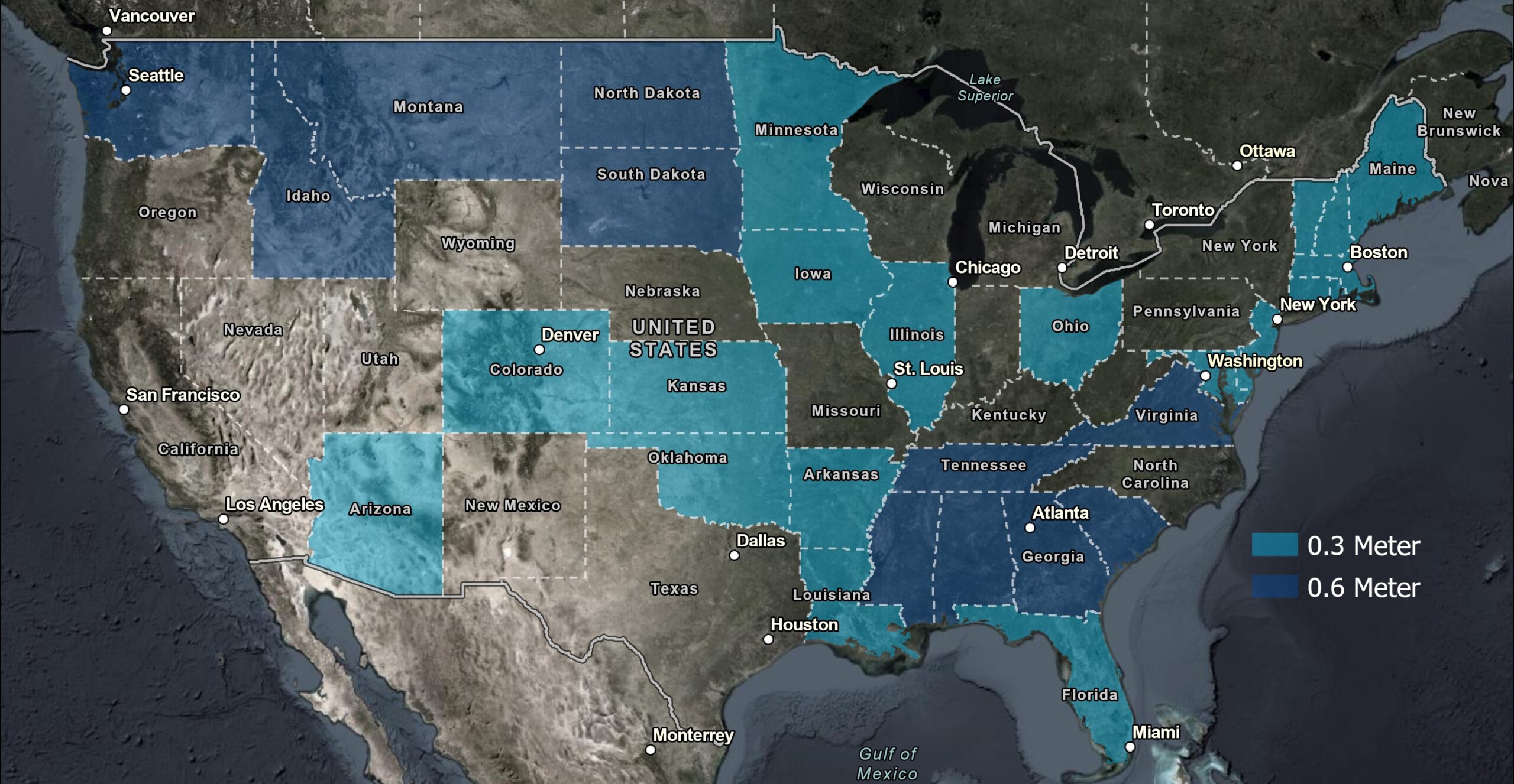
More here:
Esri Story Maps: Categorized Map Tours
This could be a useful template for Esri Story Maps: categorized map tours. Here's an example: https://arcg.is/0b8vi42. The process sounds a little 'campy' & seems to require to have/create a feature service first?
Here's how to create a map tour from actual ArcGIS Data: Create a data-driven map tour
Subscribe to:
Posts (Atom)