Showing posts with label LIDAR. Show all posts

Sunday, October 5, 2025

Google Alpha Earth

Google Alpha Earth is a new geospatial AI model that acts as a virtual satellite: it assimilates all kinds of geospatial data & does the processing for you. Then, you just ask & get ready-to-use AI-generated 'maps' of whatever you want. No more working with dozens of raw datasets!

Example: glacier mapping. In thed old days you would have spent considerable time finding useful cloud-free images, do some kind of processing, and then run some kind of index or band-ratio calculations. Now you can just ask: give me the size of the Humboldt Glacier over the last 10 years.

For now the focus seems to be on physical data collected by sensors, but I would assume that human data from will be included in the future.

More here: AlphaEarth Foundations helps map our planet in unprecedented detail

Monday, February 13, 2023

Tuesday, December 17, 2019

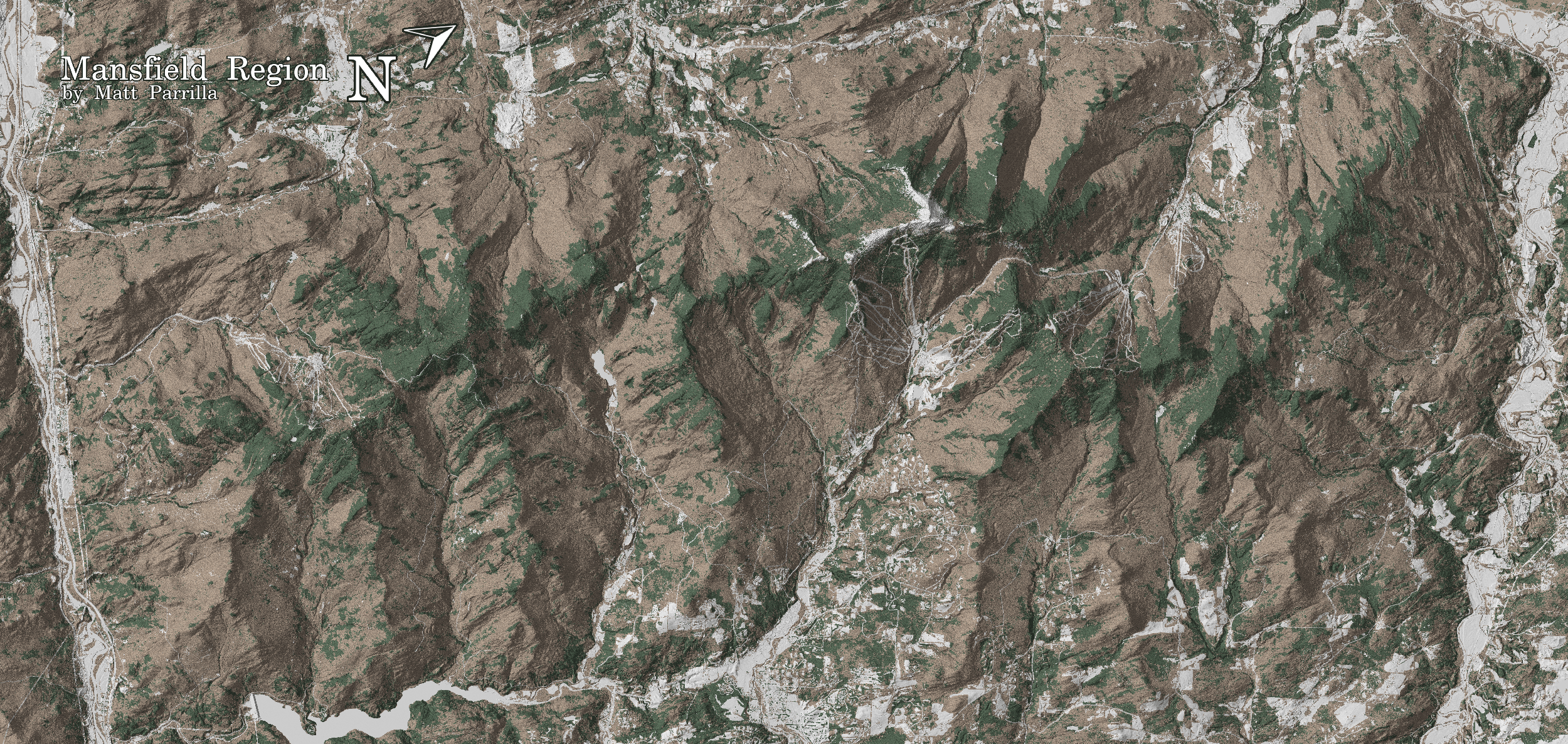
Green Mountain Maps

Nothing really 'fancy' here, but Green Mountain Maps is a nice use of open-source data for a specific purpose (here tree skiing in Vermont).

Sunday, September 8, 2019

Snow Depth Mapping using SfM and more

Goetz and Brenning (2019): Quantifying uncertainties in snow depth mapping from structure from motion photogrammetry in an alpine area. Water Resources Research, doi: 10.1029/2019WR025251.

Filhol et al. (2019): Time-lapse Photogrammetry of Distributed Snowdepth During Snowmelt. Water Resources Research, doi: 10.1029/2018WR024530. Ground-based, oblique with 3 cameras - easy in concept, but the details are complex. They make a good point: usually we either have high-frequency time series from point measurements or sporadic spatial data from satellites, UAVs, etc. Their approach tries to bridge that gap.

Monday, July 29, 2019

The National Map

The National Map (USGS) is one of the most underrated sources of GIS (and other) data, for example the USGS 3D Elevation Program data.

Tuesday, February 6, 2018

Accessing and Using Lidar Data from The National Map

Accessing and Using Lidar Data from The National Map is a great little tutorial to a) Lidar, b) the National Map, and c) ArcGIS Pro.

Speaking of ArcGIS Pro: Esri, are you really sure that this will run faster then ArcGIS Desktop? Maybe in-theory, but not in-practice on my computer. In other words: using ArcGIS Pro is an exercise in patience and waiting.

Friday, January 19, 2018

LiDAR vs Photogrammetry

Drone LiDAR or Photogrammetry? Everything you need to know. is an interesting and useful read. But it misses the point (I think). LiDAR is LIDAR = gives you a DEM, DTM, DSM - whatever you prefer to call it. Photogrammetry gives you orthophotos - which is something entirely different. Unless you are talking about doing SfM from your images.

Saturday, April 29, 2017

Comparing SfM and LiDAR

Nice paper by Cawood et al. (2017) comparing the accuracy of outcrop mapping using traditional methods, terrestrial LiDAR, terrestrial SfM, and airborne SfM.
  • Terrestrial SfM: 446 images from 20 camera positions, issues with occlusion = parts of the outcrop are not visible
  • Airborne SfM: 202 images, 6.24 mm resolution, no issues with occlusion.
Overall, SfM worked better than LiDAR (and of course does not require any specialized hardware). Issues arise from occlusion, different lighting, and low-contrast surfaces.

Thursday, July 21, 2016

HERE Reality Lens

HERE Reality Lens makes total sense: why just drive around a car to take 360 degree still images when you can also add a LiDAR system / laser ranger finder to generate an instant 3D model = the first step towards Augmented Reality. Read more about it here or try the app for ArcGIS.

http://geoawesomeness.com/here-reality-lens/

Wednesday, August 12, 2015

Landsat Lens

Landsat Lens is fun: search for a place and see how it changed from 1975, 1990, 2000, 2005, and 2010 using the public Landsat archive. A series of good (and well-known) examples are provided on the left.

I like the clean and simple interface, but there are two issues (none of which are the responsibility of the author). First, it's slow...it takes a long time for the Landsat scenes to load. Second, Landsat with its 15/30 m resolution since 1990 (worse in 1975) is just not cutting it anymore if you are used to seeing the awesome commercial high-res images and data from Airbus, GeoEye, DigitalGlobe, LiDAR, etc. Don't get me wrong: Landsat was (and is) great for what it was (and is) = a globally-consistent and free satellite image data set, but it is frustrating as a scientist to not have access to the commercial data (which are prohibitively expensive).

Thursday, July 16, 2015

LiDAR and SFM

Everything you always wanted to know about LiDAR and SFM: Analyzing high resolution topography for advancing the understanding of mass and energy transfer through landscapes: A review (by Passalacqua et al., 2015, Earth-Science Reviews).

The title is a bit misleading...the focus is very much on airborne LiDAR. Plus, the term 'transfer' implies a process (or processes), but LiDAR and SFM can only give you 'states' at high spatial resolution, but (in-practice) not high enough temporal resolution to get at actual processes, transfers, and rates thereof.

Passalacqua et al. (2015, Figure 2)

Tuesday, June 24, 2014

3D is the 'new' map

This is not really new...we created 3D campus building models using Google's (now defunct) SketchUp and 3D Warehouse back in February 2009. But, the push is on now more than ever with more and more high-resolution commercial LiDAR, UAV, and satellite data becoming available (if you are able/willing to pay for it...).

Google Maps Mania has nice compilation: Mapzen Vector Tiles, OSM Buildings, and F4Map (here the shadows change as the sun angle changes over the course of the day).

For know I'm not impressed: this is cool and fun, but for now this remains the realm of specialized (i.e. expensive) consultants and inaccessible for normal people or normal students at normal institutions. Wake me up once this is a) affordable, b) accessible, and c) usable for quantitative geospatial analysis.

Monday, January 13, 2014

LiDAR!

LiDAR data are pretty hip right now...I'm not necessarily sure why all the time, but here are some useful resources and links.
To make things worse (or better...) we now have the LiDAR data format 'wars' starting with Esri announcing a new data format for LiDAR data: Optimized LAS.