Thursday, May 25, 2017
Tsunami Travel Times
NOAA's Tsunami Travel Times to Coastal Locations is pretty simple, but does what it is supposed to do.
Wednesday, May 24, 2017
Monday, May 22, 2017
Libra and landsat-util
Seen on Spatial Reserves: Libra work really well - a quick and effective 'browser' and 'downloader' for Landsat 8 images. Landsat-util is a command line utility to search, download, and process Landsat imagery.
Sunday, May 21, 2017
Tripline and ArcGIS Online
Tripline is one thing: simple and uncluttered. Here an example: Road Trip to Yosemite (also embedded below). And here's Tripline embedded into a Story Map Journal.
Saturday, May 20, 2017
Iceflow in Antarctica
Very nice animated iceflow map of Antarctica as part of Antarctic Dispatches - Part 1 (NYT).
Wednesday, May 17, 2017
Mapjunction
Mapjunction lets you swipe between all kinds of maps, aerials, and atlas images for Boston (MA). Plus you can export and download.
The Hitchhiker’s Guide to d3.js
The Hitchhiker’s Guide to d3.js is a pretty nice compilation of all things d3.js.
Sunday, May 14, 2017
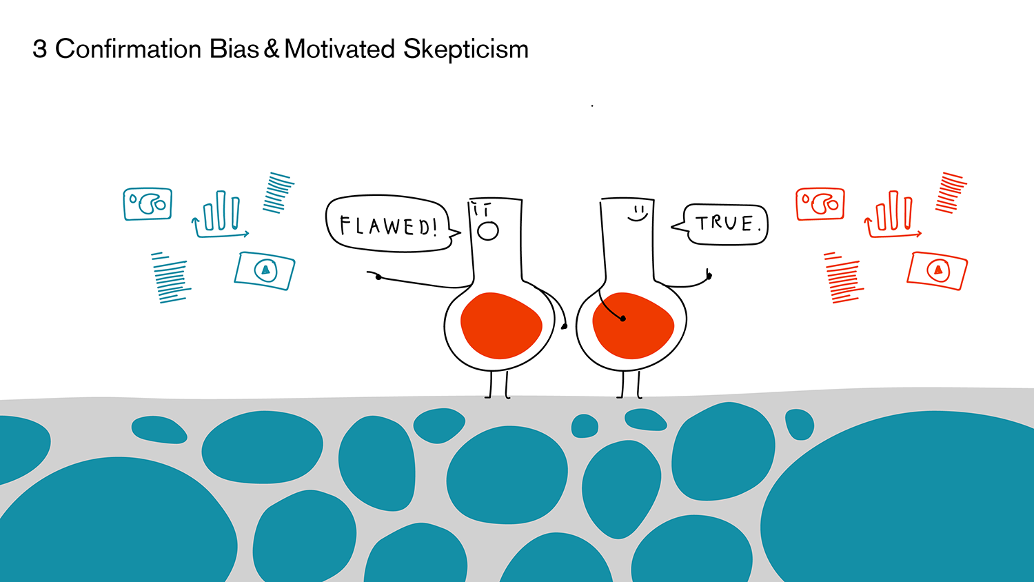
Why You Don't Believe In Facts, And How To Fix It
Why You Don't Believe In Facts, And How To Fix It is a talk by Lisa Charlotte Rost. There is nothing terribly new here, but her illustrations are brilliant.
Op-Ed: If you want to BREW, you should not study abroad
The Op-Ed: If you want to BREW, you should not study abroad spells is out rather nicely: study abroad trips perpetuate imperialism and classism.
This is the best section:
"The argument about getting outside one’s comfort zone is directly rooted in classism. I have been uncomfortable here because Bangalore, India is different than Moorhead, Minn. However, to suggest that discomfort is necessary for learning is something only comfortable people can afford to say. For those who have grown up facing class inequality, this claim would be considered incomprehensible. But those who have never faced significant difficulties in life can make this claim because they will eventually return to comfort with a fake story of overcoming adversity."
And:
"The last two reasons, traveling and fun, are often dismissed by those solely concerned about education, but to deny these as motivating factors is naïve. Plenty of students study abroad at least in part to experience popular tourist destinations, natural landmarks, partying and other privileged activities that most people (including exploited workers in tourist industries) will never have the opportunity to do."
Thursday, May 11, 2017
PrecisionMapper, DroneDeploy, and Pix4D
PrecisionMapper is online software to process UAV imagery into 2D or 3D maps. Apparently it is now available for free and here is the step-by-step workflow.
DroneDeploy also offers a free version of their mapping solution.
Pix4D not yet, but that may change.
For a free and open-source alternative, consider OpenDroneMap.
DroneDeploy also offers a free version of their mapping solution.
Pix4D not yet, but that may change.
For a free and open-source alternative, consider OpenDroneMap.
Tuesday, May 9, 2017
Food Insecurity in The United States
Map The Meal Gap offers a nice interactive map of food insecurity across the U.S. at the county level. The data are available as PDF tables.
Tuesday, May 2, 2017
Global Trade
Resourcetrade.Earth is a pretty slick interactive data viz of global trade flows with all the cool cutting-edge data viz gadgets. However, the best part of this 'map' is also the simplest: a simple data download as MS Excel.
Deforestation in Borneo
There is a lot going on in the ATLAS OF DEFORESTATION AND INDUSTRIAL PLANTATIONS IN BORNEO - maybe too much. I do like the sliders for forest, palm oil, and pulpwood.
Subscribe to:
Posts (Atom)


