There is so much good material in there, for example travel times and distances from New York City in 1800, 1830, 1857, and 1930.
Update: American Panorama is an historical atlas of the United States for the twenty-first century.
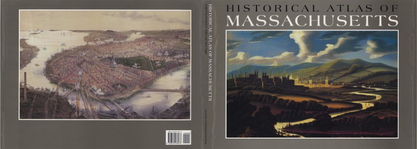
There is a similar atlas just for Massachusetts: The Historical Atlas of Massachusetts by Richard Wilkie and Jack Trager (1991), but the digital version is not quite as sophisticated.
No comments:
Post a Comment